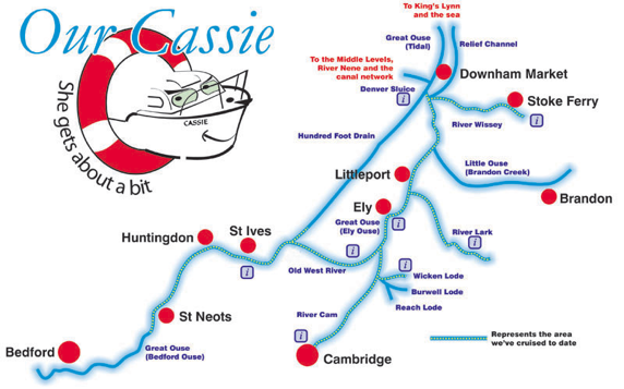
Below is a map of the Great Ouse river system which comprises of nearly 200 miles of navigable waterways. The dotted lines represent the parts of the system we've cruised so far. Click on the information symbols for more details.
This page is very much a work in progress and we'll update as and when time allows.
This page is very much a work in progress and we'll update as and when time allows.